Cutting-Edge Drone Tech Maps Land and Water with Laser Precision
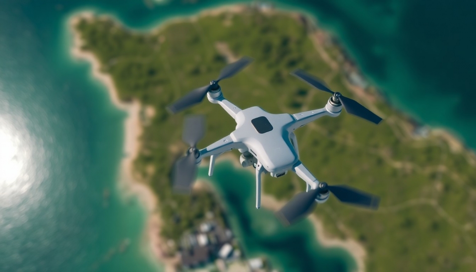
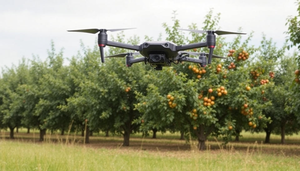
A recent presentation by a group of scientists and engineers has unveiled groundbreaking advancements in drone technology capable of creating highly accurate maps of land and bodies of water using laser aerial scanning. This method, known as Light Detection and Ranging (LiDAR), enables the collection of detailed terrain data with remarkable precision and speed. Tests conducted have already shown impressive results, opening new horizons for mapping, ecological research, and resource management.
Currently, LiDAR technology is actively used for studying forest canopies, assessing soil resources, and monitoring water resources, as well as for tracking changes in landscapes. One of the key aspects of this technology is its ability to operate at great heights, allowing drones to effectively cover large areas.
The new system is also notable for its capacity to function in various weather conditions, making it a versatile tool for researchers and environmental specialists. The mapping process takes significantly less time compared to traditional methods, substantially saving resources and allowing for a focus on data analysis.
This technology's application can greatly enhance various fields such as agriculture, forestry, and water resource management. For instance, agronomists can utilize detailed maps for crop planning, while timber operators gain crucial insights into the health and current status of forests.
It is also important to highlight that this methodology ensures not only high accuracy but also safety. The use of drones for data collection reduces the need for hazardous fieldwork and minimizes environmental impact.
Thus, the new developments in drone technology present numerous opportunities for both the scientific community and businesses, offering many promising solutions for sustainable resource management and environmental protection.
#drones #technology #LiDAR #mapping #ecology #innovation #naturalresources