
Cutting-Edge Drone Tech Maps Land and Water with Laser Precision
A recent presentation by a group of scientists and engineers has unveiled groundbreaking advancements in drone technology capable of creating highly accurate maps of land and bodies of water using laser aerial scanning. This method, known as Light Detection and Ranging (LiDAR), enables the collection of detailed terrain data with remarkable precision and speed. Tests conducted have already shown impressive results, opening new horizons for mapping, ecological research, and resource management.
Continue reading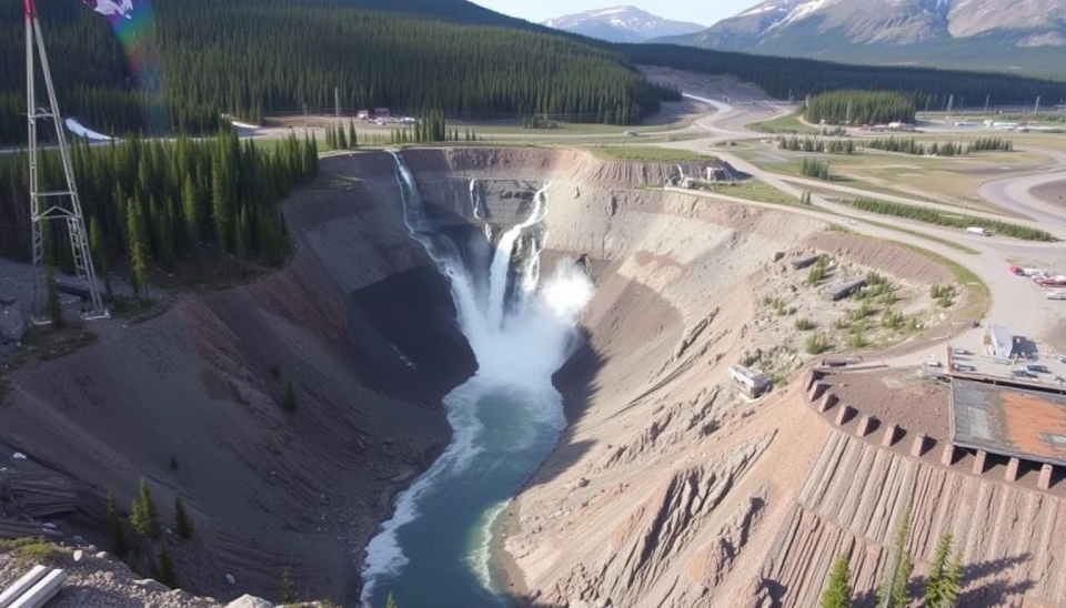
Yukon Gold Mine Disaster Raises Fears of Soaring Taxpayer Costs
Recent disaster at the Yukon gold mine known as "Mine City" has sparked growing concerns about potential financial costs to government authorities and taxpayers. As a result of the incident, which occurred in early September 2024, there was an eruption of toxic substances and a significant collapse of rock, leading to the threat of environmental catastrophe and further disruptions in the healthy ecosystem of the region.
Continue reading