Cutting-Edge Drone Tech Maps Land and Water with Laser Precision
2 months ago
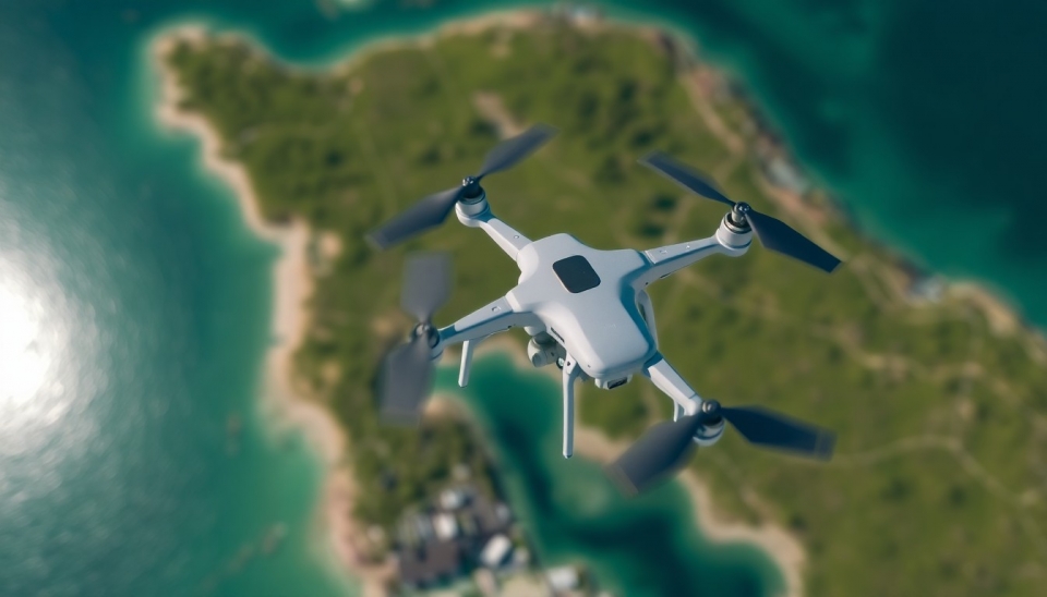
A recent presentation by a group of scientists and engineers has unveiled groundbreaking advancements in drone technology capable of creating highly accurate maps of land and bodies of water using laser aerial scanning. This method, known as Light Detection and Ranging (LiDAR), enables the collection of detailed terrain data with remarkable precision and speed. Tests conducted have already shown impressive results, opening new horizons for mapping, ecological research, and resource management.
Continue reading